

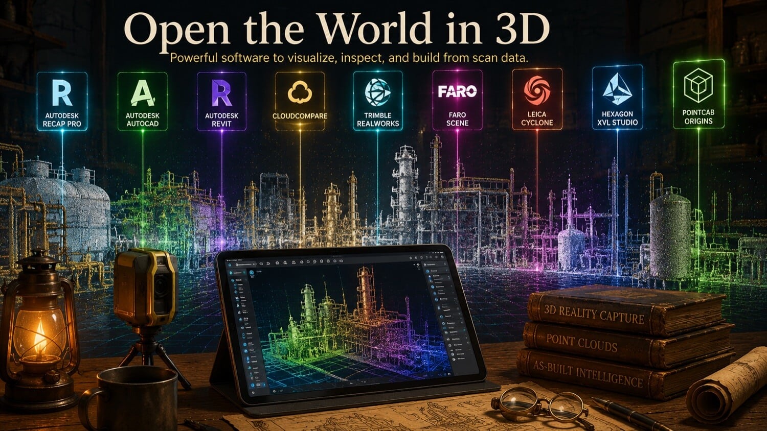
The term "scan data" encompasses three fundamentally different data types , point clouds, polygon meshes, and parametric CAD models , each requiring a different category of software to process correctly. Purchasing a single enterprise license assuming it will handle all three stages is one of the most common and costly procurement mistakes in industrial digitization programs.
GDS organizes the laser scanning software ecosystem into four functional tiers. Understanding which tier applies to each phase of your workflow allows engineering managers to right-size their software investment and avoid paying for capabilities that their project does not require.
How GDS Can Help
Most physical-to-digital projects touch more than one discipline. GDS can support the workflow from field capture through usable engineering deliverables with 3D laser scanning, 3D modeling, reverse engineering, and consulting.
GDS lists coverage across major metropolitan areas including Houston, Dallas, San Antonio, Austin, Los Angeles, San Diego, San Jose, Long Beach, Fort Worth, Irvine, Riverside, New Orleans, Baton Rouge, Shreveport, Las Vegas, and Beverly Hills. See the current GDS locations page for posted service areas.
Scope note: Specific tolerances, certification requirements, deliverables, schedules, reports, site control, and acceptance criteria should be defined in the quote, proposal, or statement of work for the individual project.
The Four-Tier Software Ecosystem
| Tier | Function | Examples | Cost Range |
|---|---|---|---|
| 1 | Point cloud viewing and basic measurement | ReCap, TruView, CloudCompare | Free to $500/yr |
| 2 | CAD/BIM design with point cloud underlay | Revit, AutoCAD, Navisworks, Tekla | $3,000 to $15,000/yr |
| 3 | Mesh processing and reverse engineering | Geomagic Design X, MeshLab, Fusion 360 | $500 to $18,000/yr |
| 4 | Metrology and precision inspection | GOM Inspect, PolyWorks, Verisurf | $8,000 to $30,000/yr |
Tier 1 , Point Cloud Viewers (Free / Lightweight)
Tier 1 tools allow engineers, project managers, and clients to navigate, measure, and annotate registered point clouds without modifying the underlying data. These tools are the correct choice for:
- Reviewing deliverables from GDS before passing to downstream teams
- Extracting spot dimensions, elevations, and clearances
- Visual inspection of scan coverage and quality
- Sharing scan data with stakeholders who do not have CAD licenses
Autodesk ReCap (Free viewer tier): The most widely deployed point cloud viewer in industrial engineering. Natively opens .rcp/.rcs projects with instant indexed loading. Supports basic dimensioning, section cuts, and region-of-interest cropping. The free viewer tier handles navigation and measurement; the Pro license adds reality capture processing tools.
Leica Cyclone TruView (Free): A browser-based or desktop viewer purpose-built for Leica scan projects. Delivers photorealistic point cloud panoramas and allows stakeholders to navigate scan positions, extract dimensions, and drop review annotations without any software installation.
CloudCompare (Free, open source): A powerful open-source platform supporting .e57, .las, .ply, .pts, and most common point cloud formats. Includes statistical outlier removal, cloud-to-cloud distance calculations, and basic mesh processing. The preferred tool for engineers who need format conversion and cloud analysis without a commercial license.
Tier 2 , CAD and BIM Design Suites
Tier 2 platforms consume point clouds as spatial underlays , a three-dimensional reference layer that designers trace over to build intelligent CAD or BIM geometry. These are the workhorse environments for facility renovation, tie-in design, and Scan-to-BIM delivery.
Autodesk Revit: The dominant platform for MEP (mechanical, electrical, plumbing) and architectural Scan-to-BIM projects. Imports .rcp point clouds natively as spatial underlays. BIM engineers trace structural steel, pipe systems, equipment, and architectural elements directly over the point cloud, building LOD 200 to 350 Revit models with intelligent parametric BIM families.
Autodesk AutoCAD: Used for 2D and 3D drawing production with point cloud underlays. Suitable for creating piping isometrics, plan views, and equipment layouts directly from scan data.
Autodesk Navisworks: The industry standard for multi-discipline clash detection. Combines point clouds, Revit BIM models, P&ID schemas, and structural steel models into a single federated coordination environment. Spatial conflicts between new design and existing conditions are identified and resolved before physical installation.
Bentley MicroStation: The primary platform in heavy civil, rail, and infrastructure projects. Natively imports .e57 and .pod point clouds. Used heavily in bridge, tunnel, and highway renovation projects.
Tekla Structures: The preferred BIM environment for structural steel fabrication and construction projects. Integrates point clouds for as-built steel surveys, connection verification, and steel detailing.
Tier 3 , Mesh and Reverse Engineering Platforms
Tier 3 tools transform raw mesh geometry into parametric solid models , the conversion process that defines true reverse engineering.
Geomagic Design X (3D Systems): The industry benchmark for scan-based reverse engineering. Combines point cloud import, automated mesh generation, and direct parametric CAD reconstruction within a single interface. Exports native SolidWorks, CATIA, NX, and Creo parametric feature trees in addition to STEP and Parasolid. GDS uses Design X as its primary reverse engineering environment.
MeshLab (Free, open source): A lightweight academic and professional tool for mesh cleaning, format conversion, and basic surface analysis. Suitable for mesh repair and format conversion tasks that do not require parametric reconstruction.
Autodesk Fusion 360: Includes mesh-to-solid conversion tools and can import point clouds for reference during CAD modeling. Cost-effective for small-scale reverse engineering work that does not require the full Design X workflow.
Tier 4 , Metrology and Precision Inspection
Tier 4 tools are purpose-engineered for one task: comparing a physical scan to a nominal CAD model and calculating the exact deviation at every point on the surface.
GOM Inspect (Zeiss): The leading platform for industrial optical metrology. Loads both scan meshes and nominal STEP files, performs intelligent best-fit and datum-referenced alignment, and generates color-coded deviation heatmaps with statistical analysis. Supports GD&T tolerance evaluation with automated pass/fail reporting.
PolyWorks Inspector (InnovMetric): The industry standard for large-scale industrial inspection. Used extensively in aerospace, automotive, and energy sectors to verify that manufactured components and field installations comply with engineering specifications. PolyWorks handles both point cloud and mesh inputs and integrates directly with CMM hardware.
Verisurf: A Mastercam-integrated metrology platform used in aerospace manufacturing. Supports model-based inspection workflows aligned with AS9102 and AS9100 first article inspection requirements.
Avoiding Unnecessary License Costs
For clients who only need to review and approve GDS deliverables, a free Tier 1 viewer is sufficient, purchasing Tier 4 metrology software for visual review is a significant over-investment. GDS recommends:
- Stakeholder review: Free point cloud viewer (ReCap or TruView)
- BIM design and coordination: Revit + Navisworks
- Reverse engineering: Geomagic Design X (or outsource to GDS)
- Inspection and quality control: GOM Inspect or PolyWorks
GDS also offers a cloud-hosted HTML5 viewer option: registered point clouds are uploaded to GDS infrastructure, and clients navigate, measure, and annotate in a standard web browser with zero software or hardware investment.
Quick Facts
Continue Reading
The next best article depends on where you are in the project. These suggested reads connect this topic to the next practical decision your team is likely to face.
FAQ
Is there free software to open a point cloud file?
Yes. Autodesk ReCap (free viewer tier), Leica Cyclone TruView (free), and CloudCompare (open source) all open major point cloud formats including .e57, .rcp, .las, and .pts at no cost. For clients reviewing GDS deliverables, these free viewers provide all the navigation and measurement capability required.
Can Revit open a point cloud directly?
Yes. Autodesk Revit natively imports .rcp and .rcs (Autodesk ReCap) point cloud projects as spatial underlays without any conversion. GDS delivers .rcp project packages pre-indexed for instant Revit loading alongside .e57 archival files.
Do I need to purchase software to review scan data from GDS?
No. GDS offers a cloud-hosted HTML5 viewer option that allows full 3D point cloud navigation, measurement, and annotation from any standard web browser with no software purchase, installation, or hardware upgrade required.
Get a Browser-Based 3D Viewer for Your Project
GDS can host your registered point cloud in a secure, browser-accessible viewer , no software, no hardware upgrade, no IT involvement required.