-
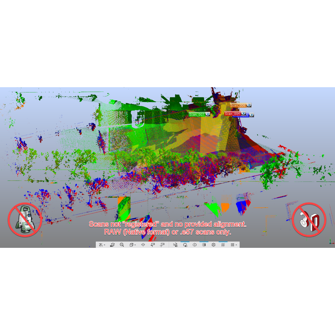
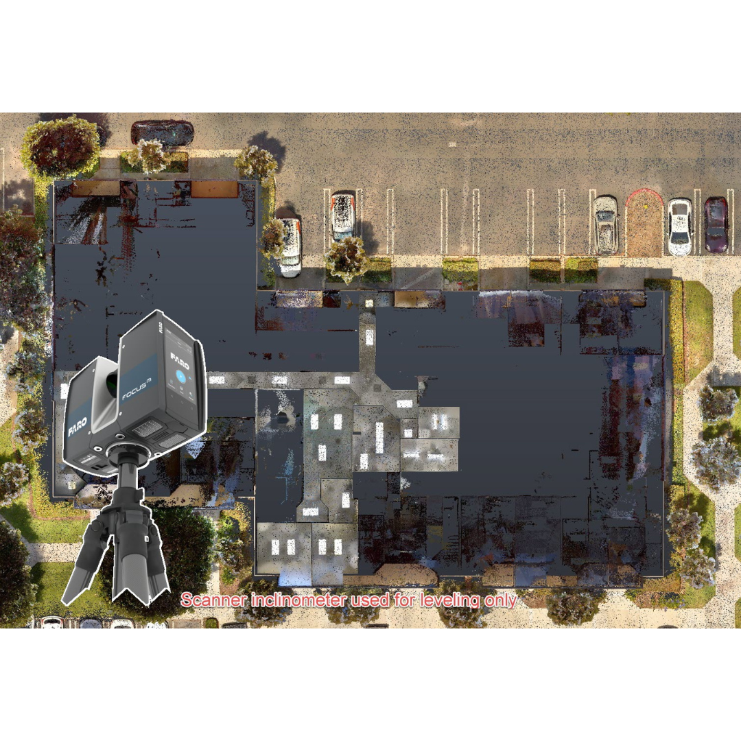
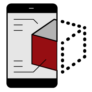
3D Laser Scanning3D Laser Scanning

-
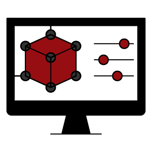
3D Modeling3D Modeling
-
Reverse EngineeringReverse Engineering
-
ConsultingConsulting

-
Digital Twin PlanningDigital Twin Planning

-
Turnkey Design to InstallTurnkey Design to Install

-
Spatial ProgrammingSpatial Programming
-
Virtual ProductsVirtual Products
-
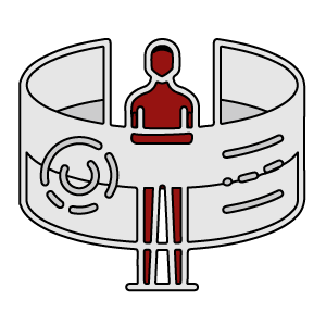
3D Body Scanning3D Body Scanning
-
-
Digital TwinDigital Twin

-
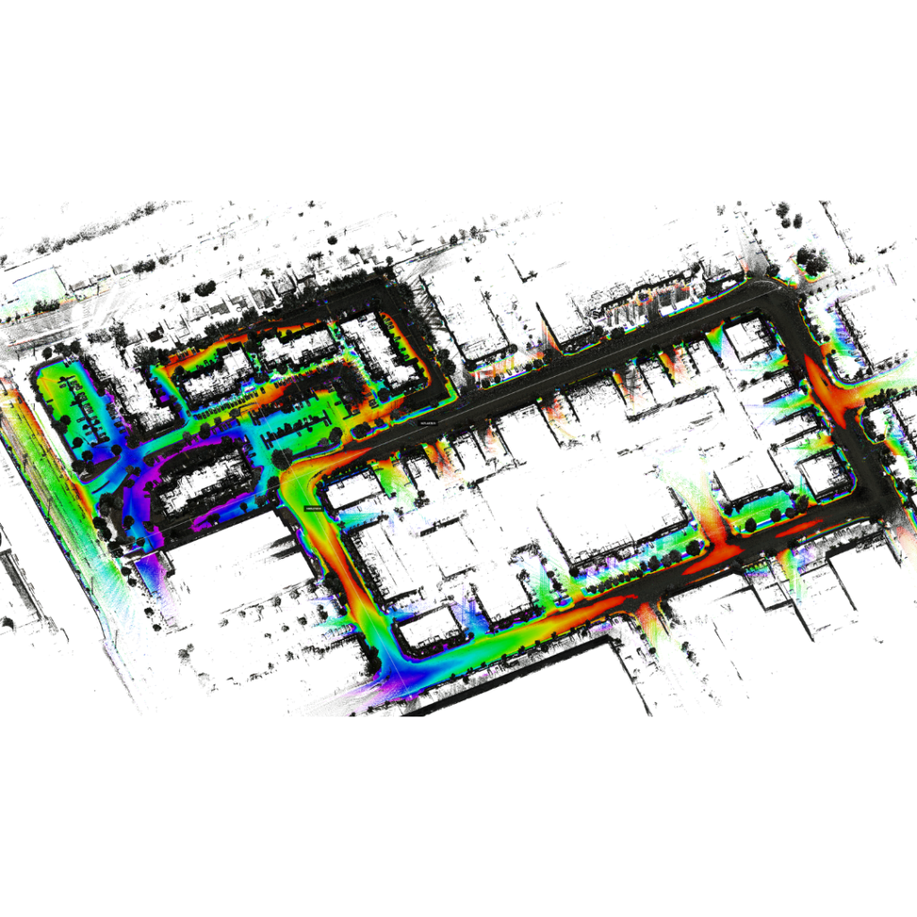
City ScanningCity Scanning

-
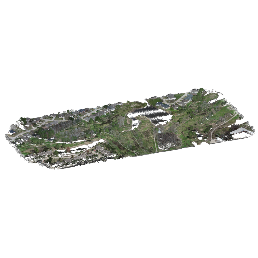
InfrastructureInfrastructure

-
ConstructionConstruction
-
AerospaceAerospace

-
AutomotiveAutomotive

-
Oil and GasOil and Gas

-
Gaming and NFTGaming and NFT

-
DIYDIY
-
Art and InnovationArt and Innovation

-
LidarLidar

-
-
InvestorsInvestors

-
Suppliers and ContractorsSuppliers and Contractors

-
-
About UsAbout Us

-
PortfolioPortfolio

-
Our CommitmentOur Commitment

-
Data SecurityData Security

-