

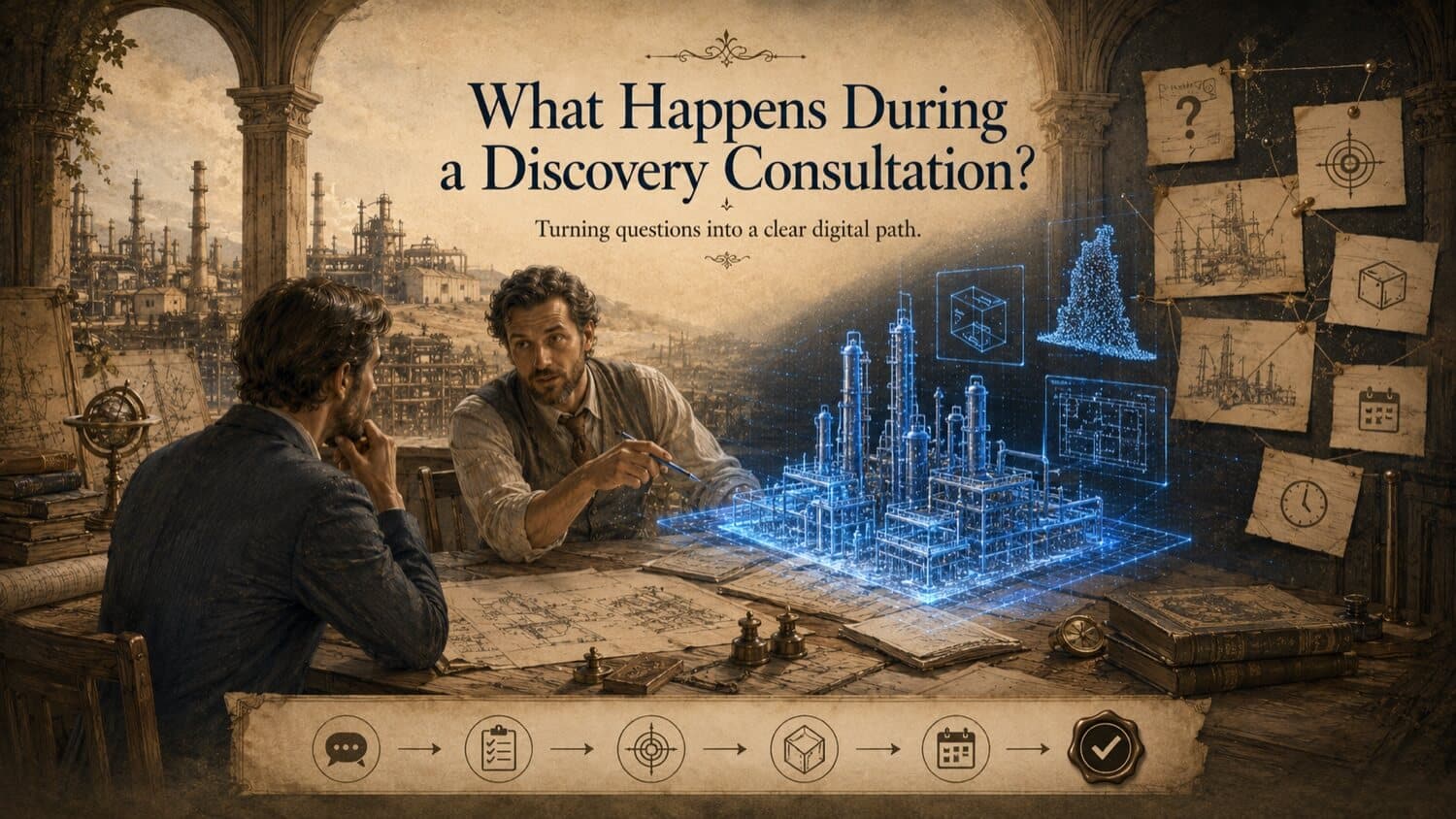
Most clients come to GDS with a clear problem but an understandably vague idea of which service solves it. "I need a 3D model" is one of the most common opening statements in a GDS consultation, but a 3D model for what? For design coordination? For facility management? For manufacturing a replacement part? For presenting to a client? Each of those answers points to a different service, a different deliverable format, and a different level of accuracy.
Choosing the wrong service doesn't just waste money, it produces a deliverable that doesn't serve the actual need, requiring a second engagement to get what should have been delivered the first time. This page exists to prevent that. It maps your specific goal to the right GDS service before you commit to anything.
GDS Project Support
Connect This Step to the Right GDS Service
Most physical-to-digital projects involve more than one decision. GDS can help clarify the right capture method, deliverable, file format, and review process through 3D laser scanning, 3D modeling, reverse engineering, and consulting.
GDS lists service coverage across posted metro areas including Houston, Dallas, San Antonio, Austin, Los Angeles, San Diego, San Jose, Long Beach, Fort Worth, Irvine, Riverside, New Orleans, Baton Rouge, Shreveport, Las Vegas, and Beverly Hills. GDS also lists offices in Torrance, California and Houston, Texas. See the current GDS locations page for posted service areas.
Scope note: Accuracy, tolerances, schedules, file formats, review windows, data retention, reporting, site access, safety requirements, and acceptance criteria should be confirmed in the quote, proposal, or statement of work for the specific project.
The Core GDS Service Paths
GDS offers four core service lines, each designed to solve a specific category of problem. Many projects draw on more than one.
Service 1, 3D Laser Scanning
What it is: The capture of physical environments, structures, and assets using laser-based instruments that record millions of precise coordinate measurements per second. The output is a point cloud, a dense three-dimensional dataset representing the as-built geometry of the scanned environment.
What it solves: The need to know, accurately and completely, what physically exists. Missing drawings. Unknown site conditions. Documentation gaps that make design, maintenance, and project delivery harder than it should be.
What you get: Raw point cloud data (E57, LAS, RCP formats), panoramic site photography embedded in the point cloud, and optionally 2D as-built drawings (DWG, PDF) extracted from the point cloud. The point cloud can also be the foundation for the services below.
Right for you if: - You need to document existing conditions accurately - You're planning work in or around an existing facility and need verified dimensions - You have missing or inaccurate as-built drawings - You need to provide accurate site information to designers, contractors, or engineers
Not right if: You need an intelligent model with parametric objects, a reverse-engineered CAD model of a specific part, or operational data integration. (Those require the services below.)
Service 2, 3D Modeling (Scan-to-BIM)
What it is: The conversion of raw scan data (point cloud) into an intelligent, parametric 3D model. GDS modellers trace over the point cloud to create objects, walls, columns, beams, pipes, equipment, ducts, floors, that carry geometry, classification, and attribute data rather than just coordinates.
What it solves: The need for a model you can design from, coordinate in, analyse against, and query for information. A point cloud tells you where things are; a BIM model tells you what they are, how they relate, and what data they carry.
What you get: Revit models (.rvt), STEP/IGES/Parasolid files for engineering workflows, detailed CAD drawings derived from the model (DWG, DXF, PDF), and IFC files for open BIM workflows. Model detail level (LOD 200 through LOD 400) is agreed with the client before production.
Right for you if: - You need a BIM model of an existing building or facility for renovation, extension, or refurbishment design - You need a 3D model for design coordination and clash detection - Your project requires a model that conforms to a BIM execution plan (BEP) or employer information requirement (EIR) - You need a model compatible with Autodesk Revit, Navisworks, or similar BIM platforms
Not right if: You only need raw dimensional data or 2D drawings (3D laser scanning alone is sufficient); you need a parametric CAD model of a specific manufactured part (reverse engineering is the right service).
Service 3, Reverse Engineering
What it is: The capture of a physical part, component, or assembly and its conversion into an engineering CAD model from which the part can be reproduced, improved, or analysed. Scanning captures the geometry; GDS engineers reconstruct the design intent as a parametric or surface CAD model.
What it solves: The need to reproduce or redesign a physical part for which no design data exists, obsolete OEM components, legacy equipment parts, custom fabrications with no drawings, or competitive reference analysis.
What you get: Parametric CAD files in the client's required format (STEP, IGES, SolidWorks, CATIA, Creo, Inventor, NX), 2D manufacturing drawings, surface models for complex freeform geometry, and a deviation analysis validating the model against the scanned geometry.
Right for you if: - You need to manufacture a replacement part and have no design drawings - You need to understand or reproduce the geometry of an existing part or assembly - You need a CAD model as the basis for part improvement or redesign - The OEM no longer supports the equipment and you need to source alternative parts
Not right if: You need facility-scale documentation (3D laser scanning is appropriate); you need an intelligent BIM model (scan-to-BIM is the right service).
Service 4, Consulting and Digital Twin Planning
What it is: A strategic and technical consultancy service that defines, designs, and supports the implementation of a digital twin, a dynamic digital representation of a physical asset that is connected to operational data sources and updated to reflect real-world conditions over time.
What it solves: The need to move beyond a static 3D model to an asset representation that reflects current conditions, supports operational decision-making, and integrates with maintenance management, process control, and facility management systems.
What you get: Digital twin strategy and architecture documentation, data integration design, platform selection guidance, spatial model foundation (built on GDS scan data), and implementation support. GDS partners with leading digital twin platform providers to deliver end-to-end solutions.
Right for you if: - You manage a large or complex facility and need real-time operational visibility - You are implementing an asset management strategy that requires a digital backbone - You need to integrate spatial data with IoT sensor data, CMMS, or process control systems - You have or are planning a BIM or 3D model and want to connect it to live operational data
Not right if: You need static documentation or a one-time model delivery; digital twin services require ongoing data infrastructure and operational commitment.
Service Comparison at a Glance
| Your Need / Challenge | GDS Service | Typical Deliverables |
|---|---|---|
| Update old drawings or capture existing conditions | 3D Laser Scanning | Point cloud (E57/LAS/RCP), 2D CAD drawings (DWG/PDF), site photography |
| Create precise BIM/CAD models from scan data | 3D Modeling (Scan-to-BIM) | Revit models, STEP/IGES files, detailed CAD drawings, IFC |
| Reconstruct a part or assembly from a physical object | Reverse Engineering | Parametric CAD (STEP, SolidWorks, CATIA, etc.), 2D manufacturing drawings |
| Connect physical assets to live operational data | Digital Twin Consulting | Strategy document, data integration design, spatial model, platform implementation |
| Support fabrication with precise site dimensions | 3D Laser Scanning + Modeling | Point cloud + scan-corrected isometrics and spool drawings |
| Verify manufactured part quality against CAD | 3D Scanning + Inspection | Deviation colour map, dimensional inspection report, GD&T verification |
When Projects Need More Than One Service
Many real-world projects combine GDS services. Common combinations:
Laser Scanning + Scan-to-BIM: Capture existing conditions by scanning, then model those conditions in BIM for a renovation or fit-out project.
Laser Scanning + Reverse Engineering: Scan an installed assembly to document the environment, and scan a specific component within that assembly to create a reproduction CAD model.
Scan-to-BIM + Digital Twin: Create an accurate BIM model of an existing facility, then connect it to operational data systems for live facility management.
Reverse Engineering + Manufacturing Inspection: Create a CAD model from a scanned part, manufacture to that model, then scan the manufactured parts to verify conformance.
GDS's discovery consultation is designed to identify the right combination for your specific project, and to flag early if your stated goal requires a multi-service approach.
Quick Facts
Continue Reading
The next best article depends on where you are in the project. These suggested reads connect this topic to the next practical decision your team is likely to face.
FAQ
How do I know if I need a point cloud or a CAD model?
A point cloud is the raw scan data, a dense set of measured coordinates representing the scanned surface. It is the source data from which all other deliverables are produced. A CAD model is an engineered representation built from or over the point cloud, with geometric features, relationships, and (in BIM) object intelligence. If you need to measure, visualize, or reference captured conditions, a point cloud may be sufficient. If you need to design from it, coordinate in it, or manufacture from it, a CAD, BIM, or reverse engineering deliverable may be required.
Can GDS provide a service that isn't listed here?
GDS's four core services cover the vast majority of industrial and engineering scanning needs. For specialist requirements, including heritage documentation scanning, forensic scanning, subsea inspection, or UAV-based aerial survey, GDS can scope custom solutions or discuss whether a qualified specialty partner may be appropriate. Describe your requirement in the discovery consultation so GDS can recommend an appropriate path based on scope, risk, and available information.
What is the difference between Scan-to-BIM and a point cloud?
A point cloud is a raw dataset of scanned coordinates, it shows where surfaces are in three-dimensional space but does not classify or parameterise those surfaces. Scan-to-BIM is the process of creating an intelligent model over the point cloud, where walls, columns, pipes, and equipment become BIM objects with type, classification, and attribute data that can be queried, scheduled, and used in design coordination workflows.
How long does service selection and scoping take?
A GDS discovery consultation is used to clarify objectives, constraints, available records, and deliverable expectations. Proposal timing depends on project complexity and the information provided. The proposal should define the recommended service path, deliverable specification, accuracy or tolerance requirements when applicable, timeline, and commercial terms.