

At Global Design Solutions (GDS), we provide cutting-edge 3D laser scanning services for a range of markets, including manufacturing, oil and gas, and beyond. Our technology allows for accurate real-world measurements from millions of vantage points, reducing turn-around times, limiting rework, and delivering powerful advantages to asset owners and industrial engineering companies.
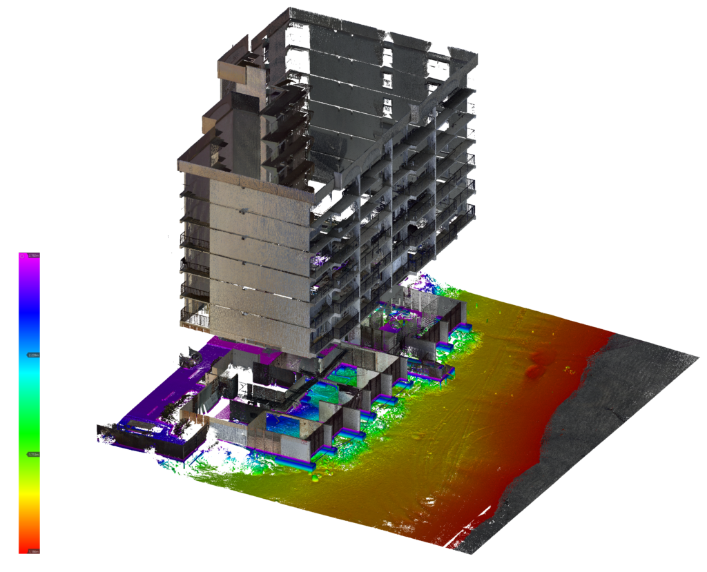
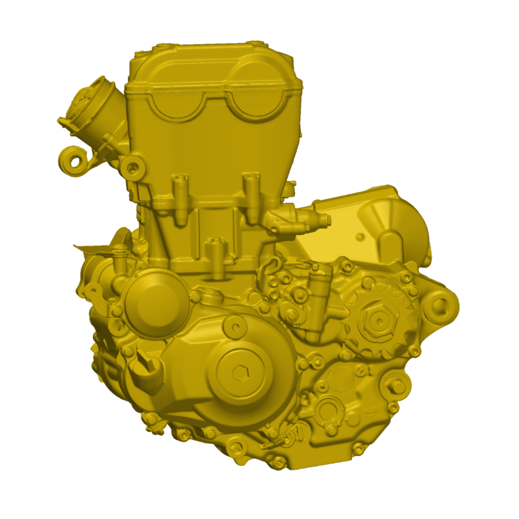
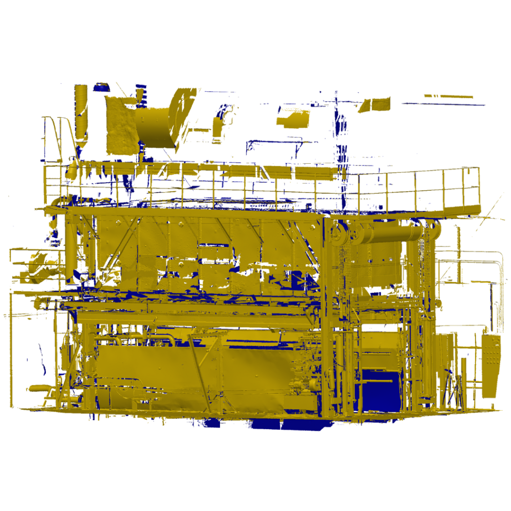
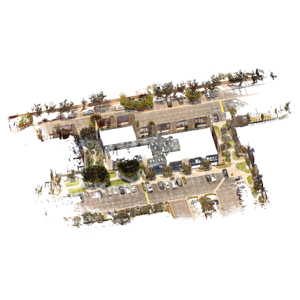
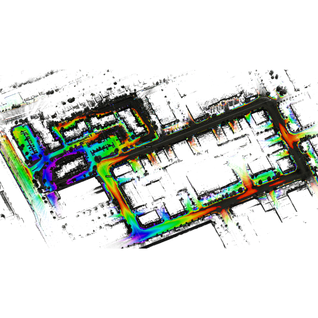
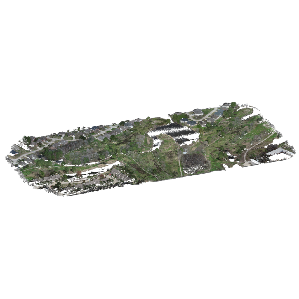
GDS offers a comprehensive suite of 3D laser scanning services to cater to diverse client needs.
Our expert team works closely with clients to understand their project requirements, constraints, and financial considerations. Through thorough consultation, GDS assists clients in choosing the most cost-effective and suitable laser scanning service for their specific needs.
By offering a variety of options, GDS ensures that clients have access to cutting-edge technology while maintaining flexibility in budgetary constraints. The commitment to understanding client objectives allows GDS to tailor solutions, ensuring that the chosen laser scanning service aligns with both the technical requirements and financial considerations of each project.
For benefits to 3D laser scanning CLICK HERE
Formats: .fls, .e57, .rmp, .rcp, .rcs, las, .ptx, .ptx, .xyz, .c3s, .lps, .laz, and more…
Specifications: 1/8″to to 2″, color or black and white point cloud data
Program compatibility: AutoCAD, Smartplant 3D, E3D, PDMS, SolidWorks, Revit, and more…
To determine the scanning type that is right for your project call 1-800-839-3342
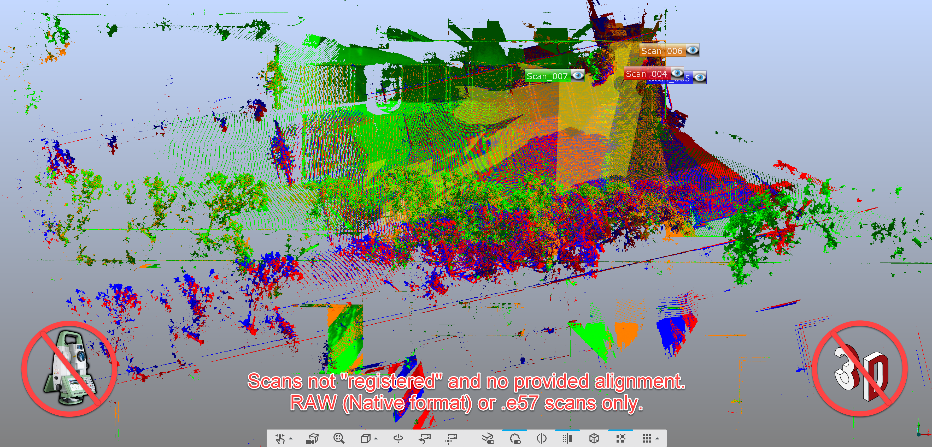
– Raw laser scan
– 360° Picture
– Color or B/W
– Unregistered point cloud data
Note:
Client responsible for registering point cloud data sets with required software to get ready for your engineering team..
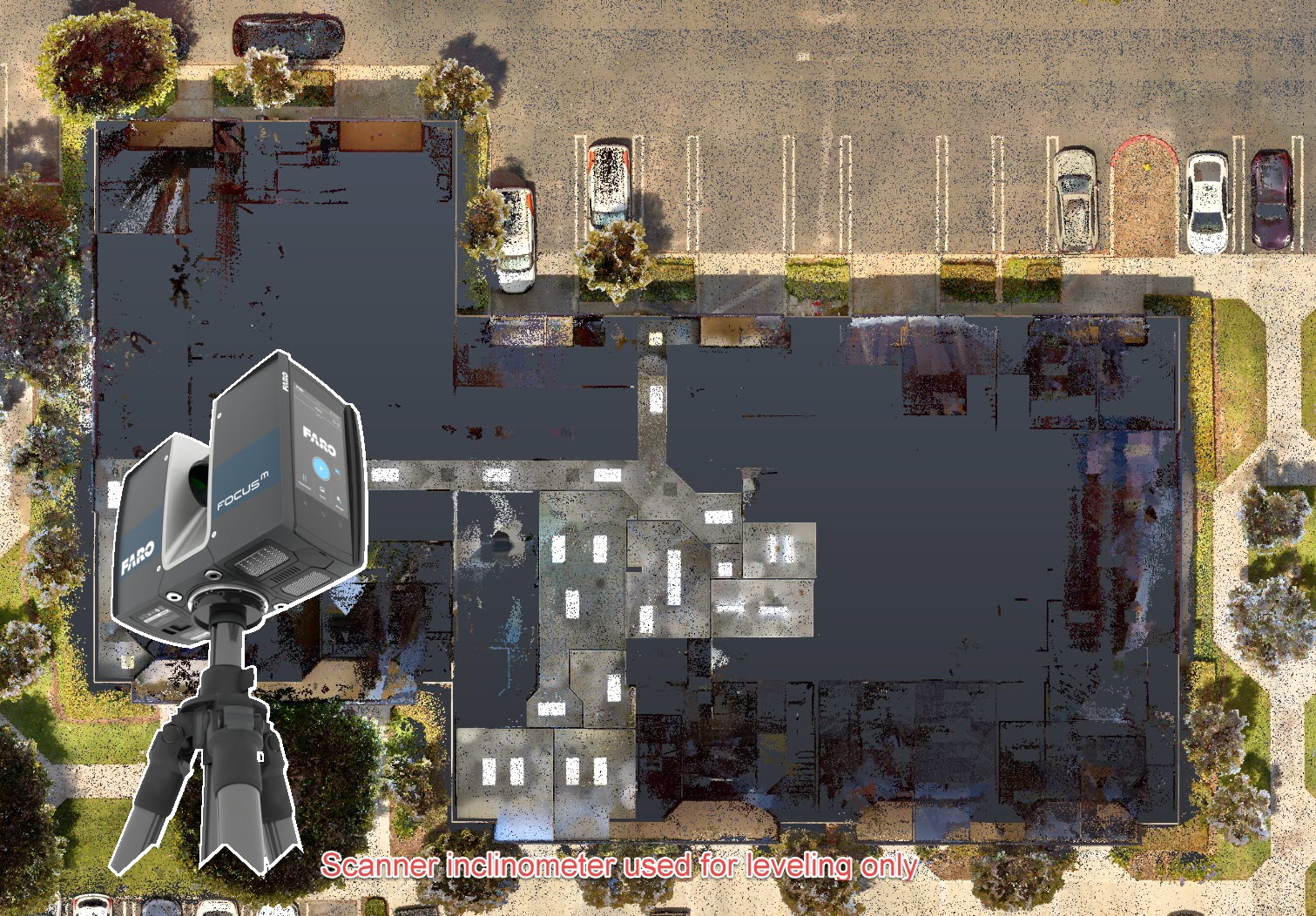
– Raw laser scan
– 360° Picture
– Color or B/W
– Cloud to cloud registration.
– GDS creates
coordinate system
– Data set rotated orthogonally
Note:
Not tied to existing coordinate system
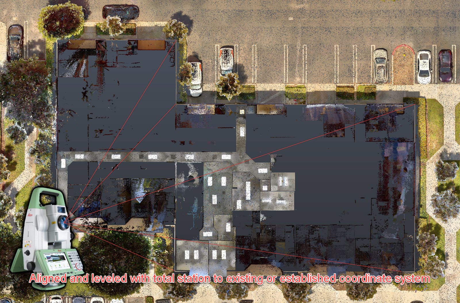
– Raw laser scan
– 360° Picture
– Color or B/W
– Target registration
– Tied into existing coordinate system
– Data set rotated orthogonally.
Note:
Client responsible for as-built modeling and design.
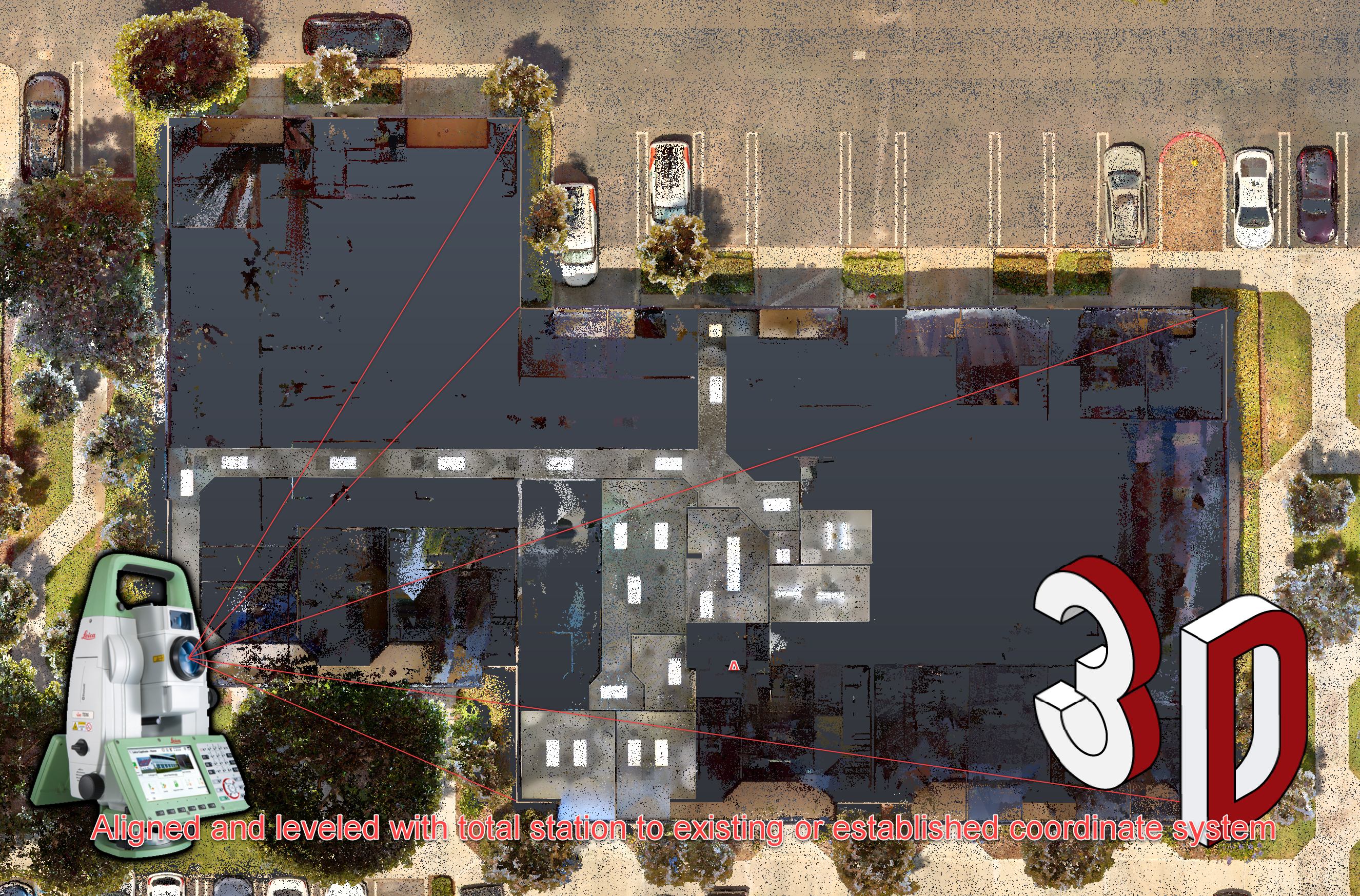
.
– Raw laser scan
– 360° Picture
– Color or B/W
– Target registration
– Tied into existing coordinate system
– Data set rotated orthogonally.
– Models created of existing as-built.
Note:
Client responsible for design.
Virtual asset assistance

Unlock your design

Infrastructure and Strategy
Pioneering Digital Landscapes
GDS’s 3D laser scanning services cater to a wide range of markets, including manufacturing facilities, oil and gas plants, construction projects, aerospace components, and beyond. Essentially, any project that requires accurate real-world measurements – from factory layouts to complex machinery to building as-builts – can benefit from GDS’s cutting-edge scanning technology that captures millions of measurement points quickly and precisely.
By capturing accurate data from millions of vantage points in one comprehensive scan, GDS greatly reduces turnaround times for measurement and design. Clients get a complete picture in one effort, which minimizes the need for repeat visits or missing information. This data-driven certainty leads to far less rework because plans and designs based on the scan are correct, preventing errors that would require fixes later.
GDS offers a comprehensive suite, including: Terrestrial Scanning (tripod-mounted scanners for buildings/structures), Handheld Scanning (portable units for intricate details in tight spaces), Metrology-Grade Scanning (ultra high-precision for detailed inspections or parts), Backpack (Mobile) Scanning (wearable systems for capturing dynamic or large areas on foot), Vehicle-Mounted Scanning (scanning via car or truck for long corridors like roads or pipelines), and Aerial Scanning (drone or aircraft LiDAR for wide-area mapping).
GDS works closely with clients through consultation to understand project requirements, site conditions, and budget constraints. They then recommend the most cost-effective and technically suitable scanning approach – which might be a single method or a combination. GDS’s commitment is to tailor the solution so it aligns with both the technical needs and financial considerations of each project.
Yes. GDS maintains flexibility in budgetary constraints by offering various scanning options. If a client has a limited budget, GDS might suggest a scanning approach that achieves the core goals without unnecessary extras. They emphasize understanding client objectives and finances so that the chosen service provides the needed data without overspending.
GDS can provide scan outputs in many common formats – raw scan formats like FLS and E57, or processed outputs like RCP for Autodesk. They offer compatibility with programs like AutoCAD, SmartPlant 3D, AVEVA E3D/PDMS, SolidWorks, Revit, and more. After scanning, GDS delivers point clouds or models that can be directly imported into your CAD or BIM software.
Yes. GDS outlines levels of terrestrial scanning service: Level 1 (raw scan data only, unregistered), Level 2 (registered point cloud aligned orthogonally), Level 3 (target registration tied into an existing coordinate system, ready for client modeling), and Level 4 (full service: registered scans plus complete as-built models). GDS can just capture data or go further to process it, depending on what the client needs.
That’s fine. A client could choose Level 1 or Level 2 service, where GDS delivers the raw or minimally processed point cloud. In Level 1 the data isn’t registered, whereas in Level 2 GDS aligns the scans together. This is suitable for clients who have the software and expertise to create models but just need high-quality scan data.
At the highest service level, GDS takes care of everything from scanning through creating 3D models in STEP or IGES format ready for fabrication. GDS acts as a one-stop solution: scan the part or site, produce the final CAD models and drawings aligned to real-world coordinates, so the client or their fabricator can immediately use those outputs to build or manufacture.
GDS guarantees that by choosing the right scanning method and delivering properly aligned and formatted data, the output will integrate into your project smoothly. Their overall Guarantee covers accuracy and completeness — if a scan misses something within the defined scope, GDS will address it. Their 90% repeat client rate is a direct reflection of satisfaction in their scanning quality and deliverables.
We build virtual products
GDS provides 3D laser scanning, 3D modeling, reverse engineering, and digital twin planning.
This will close in 0 seconds
This will close in 0 seconds
This will close in 0 seconds
This will close in 0 seconds
This will close in 0 seconds
This will close in 0 seconds
This will close in 0 seconds
This will close in 0 seconds
This will close in 0 seconds
This will close in 0 seconds
This will close in 0 seconds
This will close in 0 seconds
This will close in 0 seconds
Talk about your project live on WhatsApp now!