

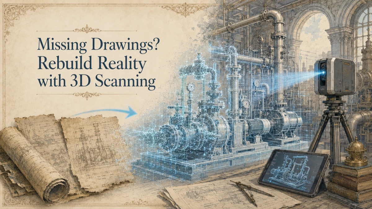
A project is ready to move, but the drawing package is incomplete. The available PDFs are old, redlines were never incorporated, or the equipment was modified so many times that nobody trusts the record.
The immediate temptation is to ask for “a complete as-built.” That phrase sounds clear, but it can mean very different things. A scan records visible surfaces from a documented time and vantage point. It does not reveal concealed utilities, internal conditions, material grades, original design intent, or every feature behind an obstruction.
The best recovery plan begins with the decision the information must support. GDS can then scope the visible geometry, capture method, coordinate strategy, and deliverable that will be useful to the people doing the next phase of work.
Why Missing Drawings Create Project Risk
Missing records force teams to price, design, maintain, and coordinate around uncertainty. Contractors add contingency. Engineers spend time verifying basics. Operations teams answer the same field questions repeatedly. The risk is greatest when an old drawing is treated as current merely because no better record exists.
Existing drawings still have value. They can provide equipment names, system intent, nominal sizes, room numbers, and clues about concealed conditions. The safer approach is to use them as reference material and compare them with measured visible conditions.
What a Scan Can - and Cannot - Recover
With suitable access and line of sight, scanning can document visible walls, floors, structure, equipment envelopes, piping, ductwork, cable tray, openings, tie-in areas, and spatial relationships. The result may support drawings, sections, models, clearance studies, or a registered point cloud.
Scanning cannot see through walls, insulation, equipment, soil, or closed ceilings. Reflective, dark, transparent, wet, moving, or distant surfaces may require a different setup, supplemental measurement, or an explicit exclusion. “Captured” should therefore mean visible, accessible, within scope, and supported by the selected method - not everything physically present.
A Five-Step Missing-Drawings Workflow
1. Define the downstream decision
Identify whether the team needs renovation drawings, equipment-replacement interfaces, maintenance documentation, a BIM underlay, or another specific output.
2. Review what already exists
Collect drawings, photographs, equipment data, redlines, control information, and known problem areas. These records guide scope even when they are not fully reliable.
3. Plan coverage and coordinates
Mark capture boundaries, tie-ins, elevated areas, obstructions, operational restrictions, and any need for survey or facility control. Project-specific accuracy language should be agreed before fieldwork.
4. Capture and document limitations
Record the visible conditions and note inaccessible, hidden, moving, or obstructed areas. Supplemental checks may be appropriate for decision-critical interfaces.
5. Convert the evidence into a usable deliverable
The point cloud may remain the primary record or be interpreted into DWG, PDF, Revit, CAD, sections, schedules, or an interface report. The deliverable should identify capture date, coordinate basis, modeled scope, assumptions, and exclusions.
Choosing the Right Deliverable
| Deliverable | Useful When | Important Limitation |
|---|---|---|
| Registered point cloud | Technical teams need measurement evidence and flexible future review | Requires compatible software and trained users |
| 2D drawings | Teams need plans, elevations, sections, or details | Drawings contain interpretation and only show selected information |
| 3D/BIM model | Design coordination needs structured geometry | Model scope and status must be defined element by element |
| Interface report | A project depends on selected tie-ins, clearances, or connection points | Does not replace responsible engineering approval |
Records, Regulations, and Responsibility
Scan-derived information may support facility documentation and engineering review, but it does not automatically establish regulatory compliance. For example, OSHA process-safety requirements call for defined process safety information, including process and equipment information; a scan is only one possible source of geometric evidence within a broader program. See OSHA 29 CFR 1910.119.
The owner, engineer, safety team, code professional, or authority having jurisdiction determines which records are required and whether they are acceptable for the intended purpose.
Interactive Project Readiness Check
Select the items your team has already defined. This planning aid does not determine technical acceptance or replace project scoping.
Quick Facts
Continue Reading
These guides connect this topic to the next practical decision your team may need to make.
Frequently Asked Questions
Can GDS create drawings when no drawings exist?
Often, yes. GDS can create scan-derived drawings or models of visible conditions when access, coverage, and the requested level of interpretation are defined.
Does the scan capture everything in the facility?
No. It records visible and accessible surfaces within the agreed scope. Obstructions, concealed systems, unsafe areas, motion, and surface properties can limit coverage.
How accurate will the recovered drawings be?
Accuracy is project-specific and depends on equipment, range, setup, registration, control, surface condition, and how the drawing or model is produced. The proposal should state the applicable method and expectations.
Can scanning replace every old drawing?
No. Old records may contain system logic, material data, specifications, and concealed information that cannot be recovered from visible geometry.
Can scan-derived drawings be used for regulatory compliance?
They may support a documentation program, but the responsible owner and qualified authorities must determine the required records and acceptance criteria.
Connect this article to the right GDS workflow
GDS can help determine whether a project should begin with 3D laser scanning, 3D modeling, reverse engineering, or consulting. The correct workflow depends on the asset, intended use, required deliverable, access, and project-specific accuracy needs.
GDS provides nationwide project coverage. Current examples from the GDS locations page include Houston, Dallas, Baton Rouge, and Los Angeles.
Ready to Define the Right Scope?
Tell GDS about the asset, decision, available records, site or part location, and intended deliverable. GDS can help identify the appropriate capture and digital workflow.