

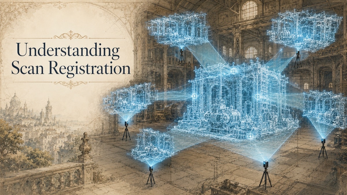
A project team receives a point cloud with doubled edges, fuzzy corners, and misaligned pipes. Each individual scan looked fine in the field. The problem occurred when separate stations were combined without enough control, overlap, or review.
This is why GDS treats scanning as a decision-support workflow, not just a technical field activity. The question is not simply, "Can we scan it?" The more useful question is, "What decision must the data support, and what evidence will make that decision safer?"
Key Takeaway
Understanding Scan Registration is a decision framework, not just a technical term. Define the use, inputs, deliverable, limitations, and review responsibility before teams rely on the data.
The Practical Problem Behind Understanding Scan Registration
A project team receives a point cloud with doubled edges, fuzzy corners, and misaligned pipes. Each individual scan looked fine in the field. The problem occurred when separate stations were combined without enough control, overlap, or review. This is why the topic belongs in the planning conversation before fieldwork, modeling, or procurement begins.
The strongest projects separate what is known, what is measured, what is modeled, and what still requires judgment. That protects the client and the service provider because the deliverable becomes evidence with context, not an implied guarantee beyond the approved scope.
What the Scan or Data Package Should Resolve
The useful scope starts with the decision. Teams should identify the required output, target software, accuracy expectations, workflow owner, and what happens if the information is wrong or late. The deliverable should distinguish measured evidence, modeled interpretation, assumptions, exclusions, and required reviews.
A good article page should help the reader choose the right next step. For some projects, that may be a broad spatial baseline. For others, it may be a focused interface scan, a lightweight model, a textured asset, a deviation report, or a consulting engagement before any field capture begins.
The Five-Phase Scan Registration Workflow
Phase 1 - Plan station overlap
Define scan positions and targets so adjacent setups share reliable geometry.
Phase 2 - Capture field evidence
Record station locations, targets, control, site changes, and any obstructions.
Phase 3 - Register scans
Use target-based, control-based, cloud-to-cloud, or combined methods as appropriate.
Phase 4 - Review quality beyond one number
Check geometry, visual seams, target residuals, control checks, and problem areas.
Phase 5 - Issue a usable point cloud
Package the unified data with registration notes, limitations, and coordinate information.
Deliverable Strategy
| Deliverable Type | When It Helps | Key Control |
|---|---|---|
| Registered point cloud | Preserves measured visible conditions as source evidence | Capture date, coordinate basis, coverage, and exclusions |
| Mesh or surface asset | Supports visualization, VR, VFX, reproduction, or measured surface review | Repair status, density, texture, scale, and intended use |
| CAD / STEP / IGES | Supports engineering exchange, reverse modeling, interfaces, and downstream design | Modeled-versus-measured status and design-intent assumptions |
| Drawings / exhibits / reports | Supports stakeholder review, procurement, QA, or decision records | Revision, units, review authority, and limitations |
Table accessibility note: The header row defines each deliverable, its best-use case, and the control required before relying on it.
Use Cases
- Combining multiple scan stations into one point cloud
- Large facilities, plants, and multi-floor buildings
- Scan-to-BIM and scan-to-CAD modeling
- Inspection and deviation-analysis preparation
Risks and Misconceptions
Registration error is not one magic number
A single average can hide local problems, weak geometry, or sparse overlap.
Cloud-to-cloud registration needs context
It can be effective, but moving objects, repeated geometry, and long corridors require care.
Good registration cannot fix missing coverage
A well-aligned scan still fails if critical surfaces were not captured.
Registration reports need plain explanations
End users need to know what was checked, not only which software was used.
Registration Method Comparison
Compare common registration approaches. Project conditions may require a combined method rather than a single universal choice.
Quick Facts
Continue Reading
The next best article depends on where you are in the project. These suggested reads connect this topic to the next practical decision your team is likely to face.
Frequently Asked Questions
What is scan registration?
Registration is the process of aligning separate scan stations into one unified point cloud.
Is target-based registration better than cloud-to-cloud?
Neither is universally better. The method should match site conditions, control requirements, and the downstream use.
What should a registration report explain?
It should describe methods, controls, checks, residuals where applicable, limitations, and coverage issues.
Can registration fix missing areas?
No. Missing or occluded areas require additional capture or documented exclusions.
Connect this article to the right GDS workflow
Most physical-to-digital projects touch more than one service. GDS can help determine whether the right starting point is 3D laser scanning, 3D modeling, reverse engineering, or consulting before scope, pricing, schedule, and deliverables are finalized.
GDS supports projects nationwide. Examples from the current locations page include Los Angeles, Long Beach, Irvine, and Riverside.
Ready to Start?
Tell GDS about your asset, your goals, and your deliverable needs. GDS can scope the right scanning, modeling, and reporting for your project.