

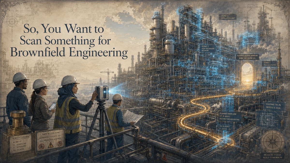
A brownfield project starts with a familiar question: can the new system fit inside the plant without interrupting operations more than necessary? The old drawings say yes. The site walk says maybe. The pipe rack says no one should guess. Existing piping, structure, cable tray, supports, valves, equipment, platforms, and undocumented modifications occupy the same space where the new work must go. A wrong assumption can become an outage problem, a field rework problem, or a safety problem.
Brownfield scanning gives the engineering team a measurable record of visible conditions so tie-ins, equipment integration, routing, access, and constructability can be planned against reality. The value is not just the point cloud. It is the combination of safety planning, coordinate control, coverage strategy, interface verification, and deliverables that downstream engineering can trust within stated limitations.
Key Takeaway
Brownfield scanning gives engineering teams a coordinated record of visible operating-facility conditions for tie-ins, routing, access, and constructability. It must be planned around safety, operations, coordinate control, and known coverage limitations.
The Brownfield Problem: New Work Inside Existing Operations
This is why GDS treats scanning as a decision-support workflow, not just a technical field activity. The question is not simply, "Can we scan it?" The more useful question is, "What decision must the data support, and what evidence will make that decision safer?"
Why Drawings Are Not Enough
Brownfield facilities change continuously. Maintenance modifications, debottlenecking projects, temporary bypasses, equipment replacements, supports, and field-routed lines often accumulate faster than the documentation system can keep up. The original drawings may explain design intent, but they rarely explain the current field condition completely.
That matters because brownfield work depends on interfaces. New piping connects to existing nozzles. New equipment must fit into existing plant rooms. New supports connect to existing steel. New construction must avoid operating systems. Those are physical conditions, not just drawing references.
The Five-Phase Brownfield Scan Strategy
Phase 1 - Define the engineering questions
Identify the tie-ins, route corridors, equipment envelopes, access needs, constructability questions, and shutdown constraints the scan must support.
Phase 2 - Pre-plan safety and access
Coordinate permits, escorts, operating constraints, classified-area requirements, PPE, restricted zones, and work windows with the site owner before mobilization.
Phase 3 - Capture by engineering zone
Scan pipe racks, plant rooms, equipment areas, platforms, structural interfaces, and visible routing corridors according to priority and safe access.
Phase 4 - Register and extract usable engineering data
Deliver the registered point cloud, modeled interfaces, sections, equipment envelopes, or task-specific CAD/BIM needed for design and constructability.
Phase 5 - Validate critical interfaces before procurement
Review tie-ins, routes, and equipment interfaces with engineering before vendor packages, fabrication, or construction work depend on them.
Safety and Access Come First
Brownfield scanning should be planned around site safety requirements. Operating plants may include elevated work, hot surfaces, hazardous materials, classified areas, confined spaces, restricted rooms, and live operations. Equipment suitability, permits, escorts, and work methods should be approved by the site owner and project safety team.
A scanner can reduce the amount of time people spend near hazards by capturing from safe positions when line of sight allows. It does not remove the need for permits, job safety analysis, or operational controls.
What the Data Supports
A registered brownfield point cloud can support tie-in review, routing studies, equipment replacement, access planning, clash detection, intelligent modeling, and fabrication planning. The deliverable may be a point cloud, modeled pipe rack, equipment envelope, structural model, tie-in report, or a package of sections and screenshots.
Critical interfaces deserve special attention. A broad plant scan may not provide enough detail for a precision tie-in unless the interface was scoped, accessed, and captured accordingly. Interface verification should be defined before data collection, not discovered after the model is already being used.
Limitations to State Clearly
Surface scanning does not capture underground lines, internal pipe conditions, contents, wall thickness, pressure boundary integrity, material grade, structural capacity, or hidden systems. It may not identify a service line or tag if labels are blocked or unreadable. It also does not certify safety, code compliance, or fitness for operation.
Those limitations do not reduce the value of scanning. They make the record more trustworthy because users understand exactly what the data supports.
Interactive Project Readiness Check
Select the items your team has already defined. This planning aid does not determine technical acceptance or replace project scoping.
Quick Facts
Continue Reading
The next best article depends on where you are in the project. These suggested reads connect this topic to the next practical decision your team is likely to face.
Frequently Asked Questions
Can scanning be done in an operating plant?
Often, when the site owner approves access, permits, safety controls, equipment use, and work windows. Some areas may require alternate planning or may be excluded.
Does the scanner need special approval for hazardous areas?
Equipment suitability must match the site classification and permit requirements. The project safety team and facility owner should confirm what equipment and work methods are allowed.
Can scanning identify pipe contents or service?
Not by geometry alone. Labels, P&IDs, operations input, tag reading, and engineering records are needed to identify service, material, and operating status.
Is one plant scan enough for fabrication?
Not often. Broad context scans support layout and routing, while fabrication-critical tie-ins may need targeted close-range capture, direct measurement, or supplemental verification.
What is the best brownfield deliverable?
The best deliverable is the one engineering can use: point cloud for reference, sections for route studies, modeled interfaces for design, or a structured tie-in package for vendors.
Connect this article to the right GDS workflow
Most physical-to-digital projects touch more than one service. GDS can help determine whether the right starting point is 3D laser scanning, 3D modeling, reverse engineering, or consulting before scope, pricing, schedule, and deliverables are finalized.
GDS provides nationwide project coverage. Current examples from the GDS locations page include Houston, Baton Rouge, New Orleans, and Shreveport.
Ready to Start?
Tell GDS about your asset, your goals, and your deliverable needs. GDS can scope the right scanning, modeling, and reporting for your project.