

An engineering team may resist scanning because they already have drawings, a BIM model, or a survey. The problem is not that engineers dislike measurement. The problem is that engineers need to know what the data means, how it was captured, what it can support, and where it cannot be trusted. A point cloud without model status is just another dataset to manage.
Justifying laser scanning to engineers means showing how the data will be controlled, referenced, verified, and used. Engineering teams do not need hype. They need provenance, coordinate clarity, and a deliverable that matches the design decision.
Key Takeaway
Engineering teams need traceable, fit-for-purpose information rather than visual impressiveness. The case for scanning should define coordinates, accuracy expectations, measured versus modeled status, critical interfaces, deliverable software, and responsible review.
The Engineering Trust Problem
This is why GDS treats scanning as a decision-support workflow, not just a technical field activity. The question is not simply, “Can we scan it?” The more useful question is, “What decision must the data support, and what evidence will make that decision safer?”
Why This Matters Before Approval
Laser scanning is easiest to approve when the request is connected to a decision. A scan may support planning, design, procurement, operations, ownership, construction, inspection, or long-term asset management. The same field capture can produce very different outcomes depending on whether the team needs a registered point cloud, a model, drawings, a report, a fit-check, or consulting support.
The approval case should also state what the scan will not do. It does not automatically certify code compliance, prove concealed conditions, replace engineering judgment, or guarantee a project outcome. It provides measured visible-condition evidence and selected derivatives when the scope, access, and deliverables are defined correctly.
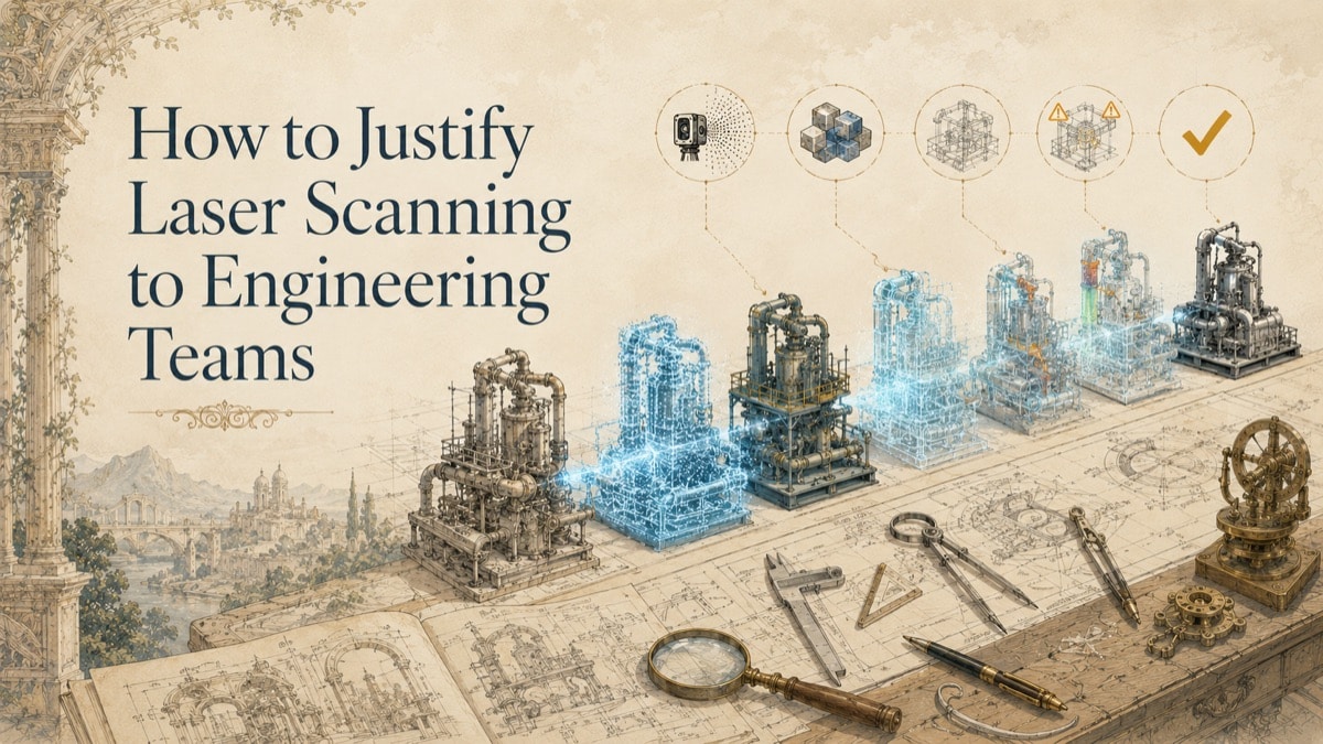
The Five-Part Engineering Confidence Framework
Phase 1 - Define the engineering decision
Identify whether the scan supports routing, tie-ins, clearances, as-built modeling, clash detection, verification, or construction planning.
Phase 2 - Establish coordinate control
Define the coordinate system, units, origin, transformations, and whether survey control or a local project system is required.
Phase 3 - Classify model status
Separate measured point cloud data from modeled, inferred, simplified, nominal, or excluded geometry.
Phase 4 - Validate critical interfaces
Confirm that decision-critical features were visible, captured, processed, and reviewed at the required level of confidence.
Phase 5 - Preserve source evidence
Retain source point clouds, registration notes, deliverable assumptions, and revision history for later review.
What Engineers Need From Scan Data
Engineers need more than a pretty model. They need reliable geometry, known limitations, repeatable coordinates, documented assumptions, and a clear relationship between the scan and the design environment.
How Scanning Fits Into Engineering Workflows
Scanning can support conceptual design, detailed design, downstream engineering, clash detection, as-built verification, and future retrofit planning. Each workflow requires different density, scope, and deliverable status.
How to Avoid Overstating the Data
The most credible engineering justification states exactly what the scan can and cannot support. Concealed elements, operating performance, material properties, code compliance, and engineering acceptance require separate review.
Decision Matrix: What to Show the Audience
| Issue | Why It Matters | Practical Response |
|---|---|---|
| Structural | Column faces, beam elevations, slabs, embeds, supports | Connection and clearance review |
| Mechanical | Equipment envelopes, pipe routes, ductwork, access zones | Routing and fit planning |
| Electrical | Tray, conduit, panels, penetrations, switchroom constraints | Containment and routing coordination |
| Civil | Surfaces, grades, drainage, site interfaces | Earthwork and external coordination |
| BIM/coordination | Point cloud, modeled elements, issues, exclusions | Federated model review |
Table accessibility note: The table uses a plain-text header row and describes each issue, its consequence, and the practical response without relying on color.
Practical Talking Points and Decision Criteria
Use simple language when explaining scanning internally:
- We are not buying technology for its own sake; we are buying better information for a defined decision.
- The value depends on scope, access, coordinate control, deliverable format, and how the team will use the data.
- Existing drawings, photos, and site walks may still be useful, but they may not be sufficient for decision-critical geometry.
- The output should be matched to the audience: management needs the decision case, procurement needs comparable scope, engineering needs model status, operations needs an access plan, and ownership needs a maintainable record.
- Any accuracy, tolerance, schedule, acceptance, or certification language should come from the quote, proposal, inspection plan, purchase order, or statement of work.
Common Misconceptions
“The scan is the model.”
The scan is measurement evidence. A model derived from it is an interpreted deliverable with its own status and assumptions.
“More points automatically mean better engineering.”
Decision-critical coverage, registration, coordinates, and validation matter more than raw density alone.
“Scanning eliminates field verification.”
Scanning can reduce unnecessary visits, but critical decisions may still require current verification or supplemental measurement.
Engineering Trust Stack
Add the controls the engineering team needs. The result shows whether the proposed data package is merely viewable or ready for controlled technical use.
Quick Facts
Continue Reading
The next best article depends on where you are in the project. These suggested reads connect this topic to the next practical decision your team is likely to face.
Frequently Asked Questions
What makes scan data useful to engineers?
Useful scan data has a defined purpose, coordinate basis, capture scope, known limitations, and deliverables matched to the engineering workflow.
Does a scan-derived model have the same authority as the point cloud?
No. The point cloud is the measurement source; the model is an interpreted derivative that should identify measured and modeled status.
Can scanning support clash detection?
Yes, when the existing-condition layer, proposed design model, coordinate system, and clash rules are properly defined.
What should engineers review before relying on a scan?
Review coverage, access, coordinate control, registration method, exclusions, model status, and whether critical interfaces are captured sufficiently.
Does scanning replace engineering calculations?
No. It provides geometry and spatial evidence; calculations, code review, and engineering acceptance remain separate responsibilities.
Connect this article to the right GDS workflow
Most physical-to-digital projects touch more than one service. GDS can help determine whether the right starting point is 3D laser scanning, 3D modeling, reverse engineering, or consulting before scope, pricing, schedule, and deliverables are finalized.
GDS supports projects nationwide. Examples from the current locations page include Houston, Dallas, Austin, and Fort Worth.
Ready to Start?
Tell GDS about your asset, your goals, and your deliverable needs. GDS can scope the right scanning, modeling, and reporting for your project.