

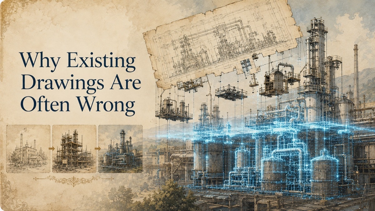
A team opens the old drawings and assumes they describe the building. The walls are close enough. The duct route looks reasonable. The equipment pad appears where it should be. Then the site walk reveals a relocated pipe, an extra platform, a sealed opening, or a wall that never existed on the drawing. The drawings were not malicious. They simply aged away from reality.
Existing drawings are often wrong because facilities change faster than records are maintained. Laser scanning does not fix every documentation problem, but it can create a dated measured baseline for visible current conditions before a project relies on outdated information.
Key Takeaway
Existing drawings may remain useful, but the label as-built does not prove they were independently measured or continuously updated. Their reliability depends on origin, revision history, later modifications, scope, and the decision they are being used to support.
The Drawing Drift Problem
This is why GDS treats scanning as a decision-support workflow, not just a technical field activity. The question is not simply, “Can we scan it?” The more useful question is, “What decision must the data support, and what evidence will make that decision safer?”
Why This Matters Before Approval
Laser scanning is easiest to approve when the request is connected to a decision. A scan may support planning, design, procurement, operations, ownership, construction, inspection, or long-term asset management. The same field capture can produce very different outcomes depending on whether the team needs a registered point cloud, a model, drawings, a report, a fit-check, or consulting support.
The approval case should also state what the scan will not do. It does not automatically certify code compliance, prove concealed conditions, replace engineering judgment, or guarantee a project outcome. It provides measured visible-condition evidence and selected derivatives when the scope, access, and deliverables are defined correctly.
The Five Sources of Drawing Drift
Phase 1 - Construction variation
Field changes during original construction may not be fully captured in closeout drawings.
Phase 2 - Commissioning changes
Equipment and systems may be adjusted during startup without complete drawing updates.
Phase 3 - Maintenance modifications
Small repairs, reroutes, replacements, and temporary fixes can become permanent without record updates.
Phase 4 - Tenant or operations changes
Spaces are adapted over time for new users, processes, equipment, or storage needs.
Phase 5 - File and revision breakdown
Teams may keep multiple drawing versions without a single trusted source of truth.
Why “As-Built” Does Not Always Mean Measured
Many as-built drawings are marked-up design drawings. They may reflect known changes but not the full geometry of what was installed. That difference matters when a project requires precise spatial relationships.
When Wrong Drawings Become Expensive
The risk becomes serious when drawings are used for tie-ins, MEP routing, equipment fit, demolition, permitting, lease areas, fabrication, or construction sequencing. The later the discrepancy is discovered, the fewer good options remain.
How Scanning Changes the Conversation
A scan gives teams a shared visual and measurable reference. Instead of arguing whether the drawing or memory is correct, stakeholders can evaluate visible existing conditions from the captured record.
Decision Matrix: What to Show the Audience
| Issue | Why It Matters | Practical Response |
|---|---|---|
| Old record drawings | May not include later modifications | Use for history, not unverified design reliance |
| Contractor redlines | May reflect major changes but miss installed drift | Review but verify critical interfaces |
| Facility markups | May be useful but inconsistent | Compare against current scan where decisions matter |
| Design BIM model | May represent intent, not reality | Confirm as-built or measured status |
| Current scan | Visible conditions at capture date | Use with scope, exclusions, and update history |
Table accessibility note: The table uses a plain-text header row and describes each issue, its consequence, and the practical response without relying on color.
Practical Talking Points and Decision Criteria
Use simple language when explaining scanning internally:
- We are not buying technology for its own sake; we are buying better information for a defined decision.
- The value depends on scope, access, coordinate control, deliverable format, and how the team will use the data.
- Existing drawings, photos, and site walks may still be useful, but they may not be sufficient for decision-critical geometry.
- The output should be matched to the audience: management needs the decision case, procurement needs comparable scope, engineering needs model status, operations needs an access plan, and ownership needs a maintainable record.
- Any accuracy, tolerance, schedule, acceptance, or certification language should come from the quote, proposal, inspection plan, purchase order, or statement of work.
Common Misconceptions
“As-built drawings are always reliable.”
They may be useful records, but reliability depends on how they were created, updated, and governed.
“A drawing error is obvious during a site walk.”
Some errors are hidden in overhead spaces, congested areas, levels, offsets, or cumulative spatial relationships.
“Scanning makes drawings irrelevant.”
Existing drawings can still provide design intent, system identity, and history. Scanning adds current measured visible conditions.
Drawing Confidence Diagnostic
Mark the conditions affecting the record. The result does not declare a drawing right or wrong; it indicates whether current-condition verification deserves attention.
Quick Facts
Continue Reading
The next best article depends on where you are in the project. These suggested reads connect this topic to the next practical decision your team is likely to face.
Frequently Asked Questions
Why are existing drawings often wrong?
They become outdated through construction changes, commissioning adjustments, maintenance modifications, tenant changes, and weak revision control.
Are as-built drawings the same as a laser scan?
No. As-built drawings may be markups or modeled records; a scan is a measured visible-condition record at a specific time.
Can scanning find concealed conditions?
Not by itself. Scanning captures visible surfaces; concealed conditions require other methods, records, access, or investigation.
Should we discard old drawings after scanning?
No. Use old drawings for history and system intent, but verify decision-critical visible conditions with measured data when needed.
When should drawings be checked against reality?
Before design, procurement, installation, demolition, retrofit, or owner decisions that depend on current spatial conditions.
Connect this article to the right GDS workflow
Most physical-to-digital projects touch more than one service. GDS can help determine whether the right starting point is 3D laser scanning, 3D modeling, reverse engineering, or consulting before scope, pricing, schedule, and deliverables are finalized.
GDS supports projects nationwide. Examples from the current locations page include Houston, Dallas, Austin, and Fort Worth.
Ready to Start?
Tell GDS about your asset, your goals, and your deliverable needs. GDS can scope the right scanning, modeling, and reporting for your project.